
Weber Fire
For high resolution, click here.
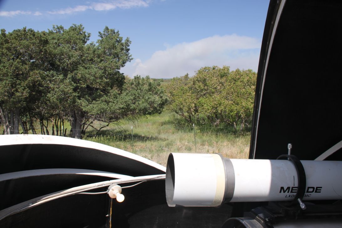
Weber Fire: The low "cloud" on the horizon, is actually the plume of smoke from the Weber fire. Starting in Weber Canyon, near Mancos, and about 10 miles west of the observatory, the fire burned over 10,000 acres in late June. Depending on the day, smoke overhead varied in intensity from light to very thick. The plume was much larger the day before this picture was taken, and was large again during "backburn" operations the following week.
Date: June 2012
Views: 4298
 This work is licensed under a Creative Commons Attribution-NonCommercial-ShareAlike 4.0 International License.